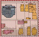


Sanborn® Fire Insurance Maps are an ideal source
of information about the structure and use of buildings.
Sanborn maps consist of a uniform series of large-scale (one inch=50 feet), detailed maps depicting the commercial, industrial, and residential sections of cities.
The maps were produced by the Sanborn
Company beginning in 1867 and were designed
to assist fire insurance agents in determining
the degree of hazard associated with a particular property.